Dimensional Control
Dimensional control solutions complement our core offshore construction and inspection services.
At Andrews Survey we know the key to a successful offshore construction project includes careful and meticulous planning.
Dimensional control is an essential part of the planning stage and the results help make difficult decisions easier.
Our dimensional control services include:
- 2D and 3D land survey
- Laser scanning and photogrammetry
- Vessel survey sensor verifications including offsets measurements
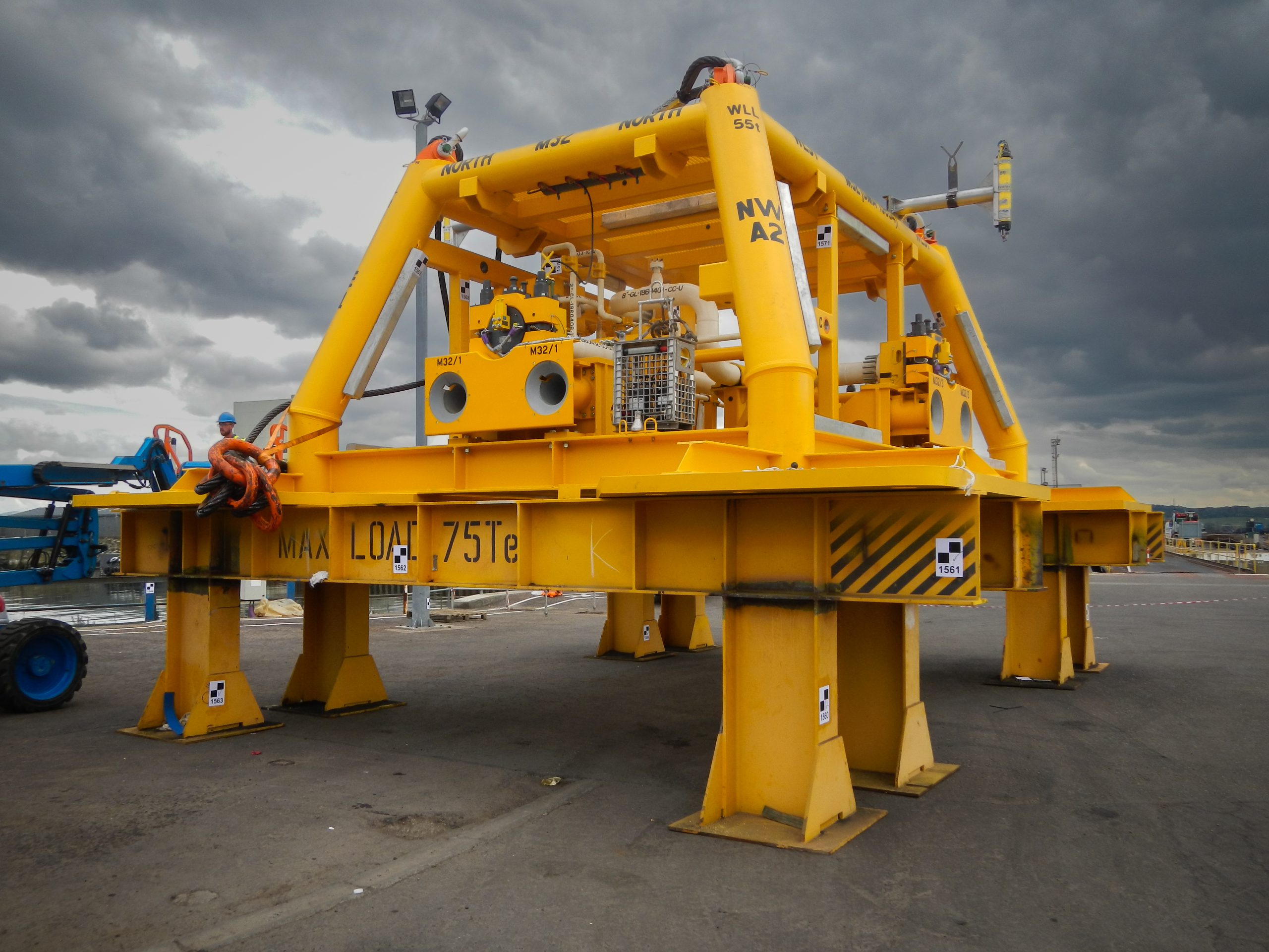
- Structure dimensional control
- Metrology spool dimensional control
We can advise on the most efficient and effective solutions for your dimensional control requirement.
Our services range from 2D land survey to a full laser scanning package where you can visualise your asset and take endless measurements from the comfort of your desk.
Vessel and ROV verifications
Our land survey services also comprise vessel and ROV verifications. This includes vessel and ROV offsets measurements, vessel gyro verifications, MRU heading and inclination verifications and GNSS position checks.
We conduct structure dimensional control using either 3D land survey, laser scanning or photogrammetry to measure the framework of the structure integrating any flange or hub positions. This can include alignment of gyro packages, positioning and height control for depth targets and positioning of transponder bracketry relative to the hub or flange within the structure framework.
Quality Control
In addition to planning, dimensional control can also play a key role in quality control. This role includes a 2D or 3D dimensional control check of a metrology spool during and on completion of fabrication in the yard, thus ensuring the spool is built to specification.
We use land survey techniques to support the installation of offshore wind turbines where the pile and transition piece position, heading, inclination and height are critical.